2026 Preliminary Assessment Information
| Land Assessed Value | $3,400 |
| Total Assessed Value | $3,400 |
| Equalization Rate | 100.00% |
| Full Market Value | $3,400 |
| Partial Construction |
No
|
| County Taxable | $3,400 |
| Municipal Taxable | $3,400 |
| School Taxable | $3,400 |
| Roll Section | 1 |
Property Description
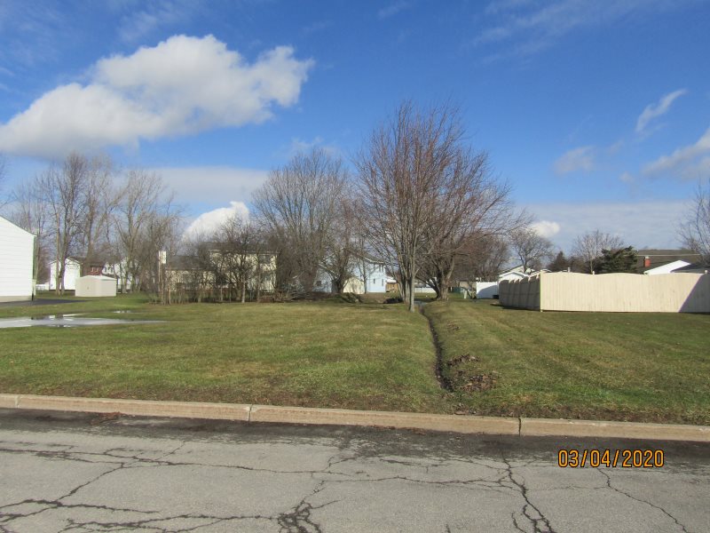
| Property Location | 33 Hoover Pkwy |
| Property Type | 311 - Res vac land |
| Neighborhood Code | 1600 50s/60s/70s |
| SWIS | 290900 |
| Water Supply | 3 - Comm/public |
| Utilities | 4 - Gas & elec |
| Sewer Type | 3 - Comm/public |
| Zoning | R1 |
| School | City Of Lkpt School |
| Book | 2009 |
| Page | 18069 |
| Grid East | 1124288 |
| Grid North | 1149478 |
| Acres | 0.26 |
| Front | 80.00 |
| Depth | 140.00 |
| Agricultural District | No |
| Account Number | 3-3086.000 |
Last Property Sale
| Deed Date | 09/25/2009 |
| Deed Book | 2009 |
| Deed Page | 18069 |
| Contract Date | |
| Sale Date | 09/25/2009 |
| Full Sale Price | $3,100 |
| Net Sale Price | $3,100 |
| Usable For Valuation | No |
| Arms Length | No |
| Prior Owner | City of Lockport |
| Sales |
|
Deed Date |
Deed Book |
Deed Page |
Contract Date |
Sale Date |
Last Physical Inspection Date |
Sale Price |
Net Sale Price |
Usable for Valuation |
Arms Length |
Prior Owner |
|
09/25/2009 |
2009 |
18069 |
|
09/25/2009 |
|
$3,100 |
$3,100 |
No |
No |
City of Lockport |
|
07/28/2009 |
2009 |
14040 |
|
07/22/2009 |
|
$1 |
$1 |
No |
No |
Betty Gerber, Life Use |
| Deed References |
|
Deed Book |
Deed Page |
|
2009 |
18069 |
| Land |
|
Site # |
Land Type |
Acres |
Front |
Depth |
Sq Ft |
Soil Rating |
|
1 |
01 - Primary |
0.26 |
80.00 |
140.00 |
|
|
No Improvement Data Found
| Special Districts |
|
Code Description |
Type |
Primary Units |
Secondary Units |
Amount |
|
RD291 - County refuse |
A |
0.00 |
0.00 |
$3,400.00 |